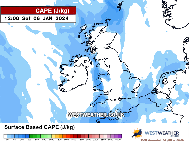
UK Thunderstorm Risk Map - lighting potential

Please select a weather chart:
Help & Information
Some people love thunderstorms and some hate them... it's pretty much a way of life.
However, during summer months the risk of large and damaging thunderstorms and tornadoes increases. These charts go out to the next 16 days showing you the risk of thunderstorms and tornadoes across the country.
These images are updated four times a day and begin updating at 6.30am, 12.30pm, 6.30pm and 12.30am (BST) and take approx 110 mins to complete.
Thunderstorm risk is based on the latest high resolution GFS data and uses the Thompson Index along with the K Index in order to ascertain risk.
The tornado risk uses the Storm Relative Helicity as well as the Shear Index for 3 levels in the atmosphere to ascertain risk.
Well, you did ask....
Weather ReportsVisit ►
| Today |
Today's extremes
| High Temp: | 18.9°C at 11:21 AM |
| Low Temp: | 8.6°C at 5:46 AM |
| Rain Rate: | 0.00 mm/hr @ 00:00 AM |
| UV High: | 10.0 at 11:44 AM |
| Max Gust: | 10.4 mph at 9:28 AM |
| Min Windchill: | 8.6°C at 5:46 AM |

